

What impact does the stratosphere have on the weather below, and how can we harness our knowledge of that impact to improve weather forecasts? About 90 scientists came together at ECMWF from 18 to 21 November to review the state of the art.
“This was an exciting workshop as the stratosphere is one of the areas where we can push the limits of predictability in our forecasts,” says ECMWF scientist Inna Polichtchouk, one of the organisers of the workshop on ‘stratospheric predictability and impact on the troposphere’.
“There were 31 very stimulating talks with a good mix of topics and some interesting debates, including a lively panel discussion.”
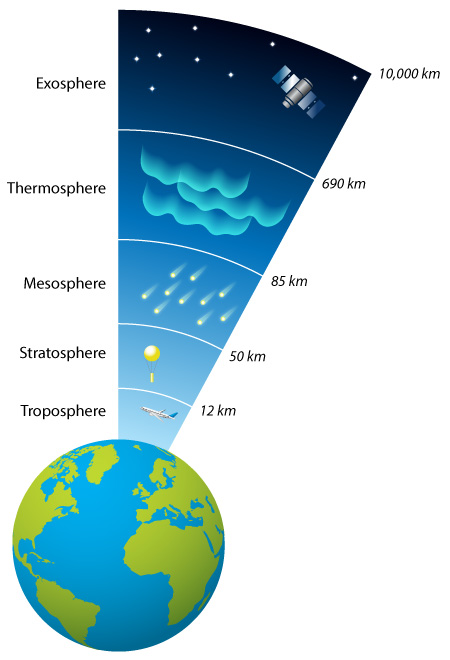
The stratosphere is the second major layer of the atmosphere, starting at heights of 8–20 km and extending to 50 km above the surface. The troposphere is where clouds form and weather takes place, but conditions in the stratosphere can influence the weather below.
Role of the stratosphere
Although weather happens in the troposphere, there are at least two reasons why forecasters need to know what is happening in the stratosphere.
One is the need for accurate initial conditions at the start of forecasts. Those conditions are partly deduced from information contained in microwave and infrared radiances received by satellites.
“The microwave and infrared signals traverse the stratosphere and, to interpret them correctly, we need to know the conditions they encountered on their journey,” says Ted Shepherd from the University of Reading, UK, one of the speakers at the workshop.
The second reason is that there are significant interactions between the troposphere and the stratosphere. “The focus of the workshop was on how best to model these interactions to maximise the accuracy of forecasts from about a week to several months ahead.”
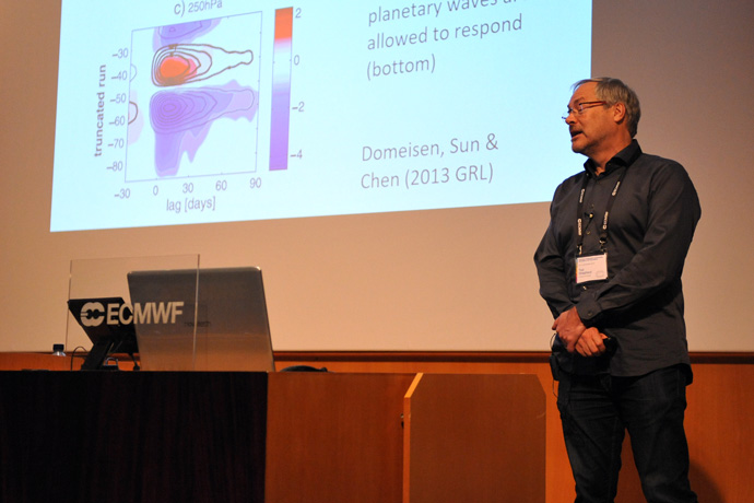
Ted Shepherd talked about the importance of the stratosphere for extended-range predictions.
For example, over the tropics there are periodic changes in the direction of winds in the stratosphere, a phenomenon known as the Quasi-Biennial Oscillation (QBO).
“The QBO can have an impact on tropical convection and some recurring, large-scale tropical weather phenomena, such as the Madden-Julian Oscillation (MJO),” says Amy Butler from NOAA, who also spoke at the workshop.
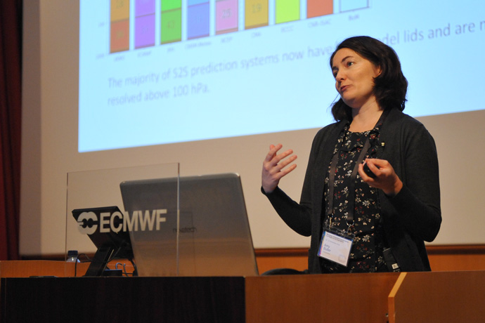
The topic of Amy Butler’s talk was the representation of stratosphere–troposphere coupling in sub-seasonal to seasonal models.
Stratospheric conditions over the poles are important too, as here in wintertime a stratospheric polar vortex forms. “Under the influence of large-scale atmospheric waves emanating from the troposphere, this vortex can be deformed or break up in sudden stratospheric warming (SSW) events, with repercussions for weather in the mid-latitudes,” Amy says.
Ted points out that tropical conditions in the stratosphere are more relevant for predictions at seasonal timescales, up to about a year ahead, while polar vortex events can influence mid-latitude weather on timescales from about a week to a couple of months.
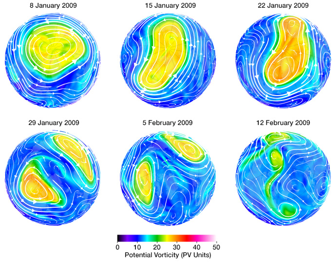
In January 2009, the northern hemisphere stratospheric polar vortex broke down in a sudden stratospheric warming event. Under the influence of large-scale atmospheric waves, it was first distorted before splitting and finally breaking up completely. In such events, cold air trapped poleward of the jet stream, which is influenced by the stratospheric polar vortex, can in some cases move south, causing cold spells in the mid-latitudes. (Plots: NASA Ozone Watch)
What the workshop achieved
Although the main pathways of interactions between the stratosphere and the troposphere are well known, there is often considerable uncertainty in the details.
When an SSW event coincides with a strong MJO, what is the dominant influence on weather in the mid-latitudes? And why are some SSWs in the polar regions followed by cold spells in Europe but others aren’t?
“Better understanding the relative importance of different teleconnections will help us to focus our modelling work where it matters most,” says Inna. “Speakers at this meeting presented some novel methods to disentangle cause and effect, providing us with a number of leads to pursue in our research.”
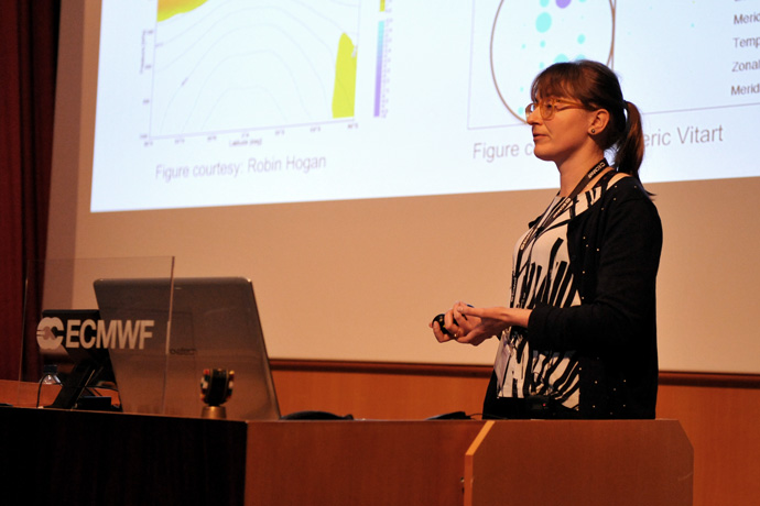
Inna Polichtchouk gave a talk on causes and fixes for stratospheric temperature biases in ECMWF’s Integrated Forecasting System and their impact on predictability.
There are also some known issues with ECMWF’s model at the sub-seasonal to seasonal range.
“There are stratospheric temperature biases in the model, and the connection between the troposphere and the stratosphere becomes too weak in the northern hemisphere beyond a month into the forecast,” says ECMWF scientist Tim Stockdale, who co-organised the event.
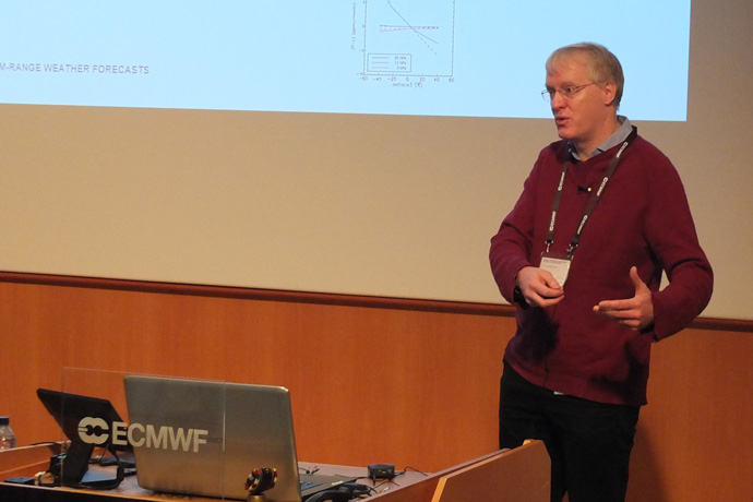
Tim Stockdale talked about a new approach to linear ozone modelling.
Recommendations made at the workshop include improved modelling of gravity waves (atmospheric waves produced, for example, by airflow over mountains) and of the mesosphere (the atmospheric layer above the stratosphere).
Tim points out that a snap poll among the attending scientists showed little consensus, and a great deal of uncertainty, about the correct seasonal forecast for this winter.
“It illustrates the fact that seasonal winter forecasts for Europe are difficult. It means that we have our work cut out to improve our models, and the findings presented at this workshop will help us to move forward.”
Further information
Further information, including presentations and recordings of the talks, can be found on the workshop page on the ECMWF website.