

Multi-parameter EFI (24-h up to valid time)
Base Time: Mon 26 Oct 2026 06 UTC T+42 Valid time: Wed 28 Oct 2026 00 UTC (T+42)
This chart shows where the ENS system expects anomalous weather to occur using symbols - pink for wind and green for rain, and shading for the temperature.
The basis for the symbols is the Extreme forecast index (EFI), which compares the ENS distributions from a particular ENS run with the model climate.
ENS mean of Mean sea level pressure contours are overlaid to aid the interpretation.
Detailed description of EFI products can be found in ECMWF Forecast User Guide.


Forecast charts and data
We provide current forecasts, climate reanalyses and specific datasets. These are available via the web, point-to-point dissemination, data servers and broadcasting.

Forecasts, analyses, climate reanalyses, re-forecasts and multi-model data are available from our archive (MARS) or via dedicated data servers or via point-to-point dissemination.

Researchers, WMO members, commercial users and satellite data providers can gain access to ECMWF forecast products under one of our various licence agreement types.

Serving meteorology
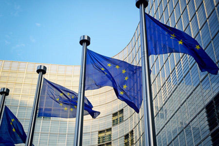
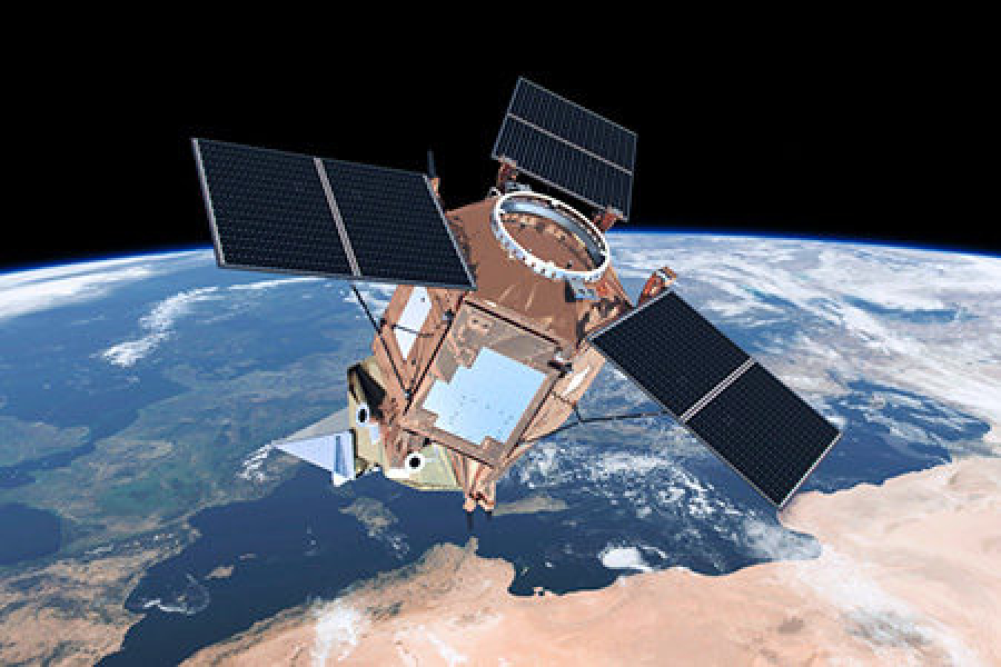
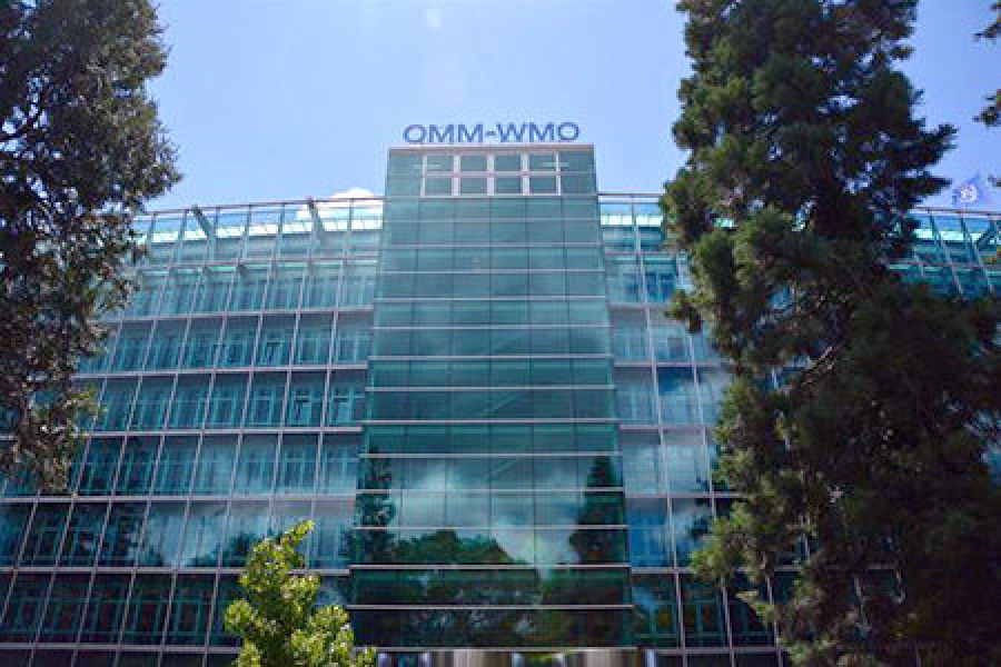
International collaboration is fundamental to the work of ECMWF, working with the EU and the meteorological community at large, including the World Meteorological Organization, space agencies, and scientists around the world.
| October 26 – 30 | Joint CP-TT/DA-TT Workshop |
| November 3 – 5 | 2026 Workshop on Machine Learning for Land and Hydrology |
| November 9 – 12 | NWP-SAF workshop on exploiting satellite cloud and precipitation observations for weather forecasting |
| November 16 – 20 | Training course: Machine Learning-based weather forecasting |
| 27 November | Panel: Towards Coupled AI Climate Models |
| November 23 – 27 | Workshop on software strategies for sustainable physical modelling |
| October 5 – December 4 | Online course: ML for Earth Systems Modelling - Applications and Future Directions |
| January 11 – 15 | Training course: Data assimilation & Machine Learning |
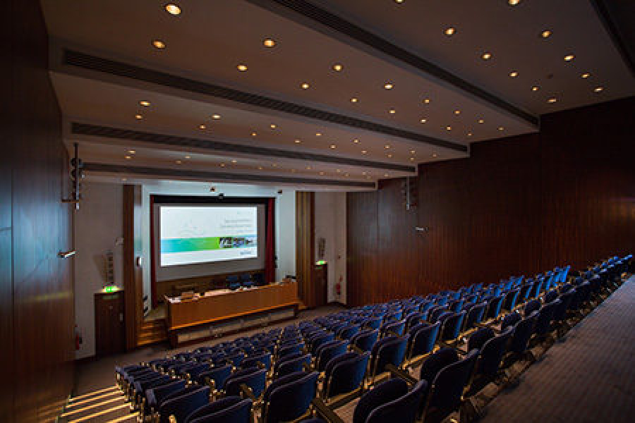
ECMWF workshops are open to the worldwide meteorological community, though some training is restricted to member states.